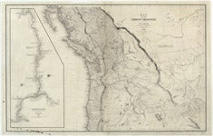
Map of the Oregon Territory

| Origin/Agency/Author: | Wilkes, Charles, 1798-1877 |
|---|---|
| Publisher: | [Washington, D.C.] : U.S. Dept. of Commerce, National Oceanic and Atmospheric Administration |
| Date: | [19--?] |
| Size: | 57 x 70 cm. on sheet 63 x 92 cm. |
| Condition: | Good; moderate discoloration |
| Note: | Inset: Columbia River, reduced from a survey / made by the U.S. Ex. Ex., 1841 |
| Location: |
State Library For complete citation |
| View Map: | JPEG |


